Ortelius. Southern Italy. 1641.
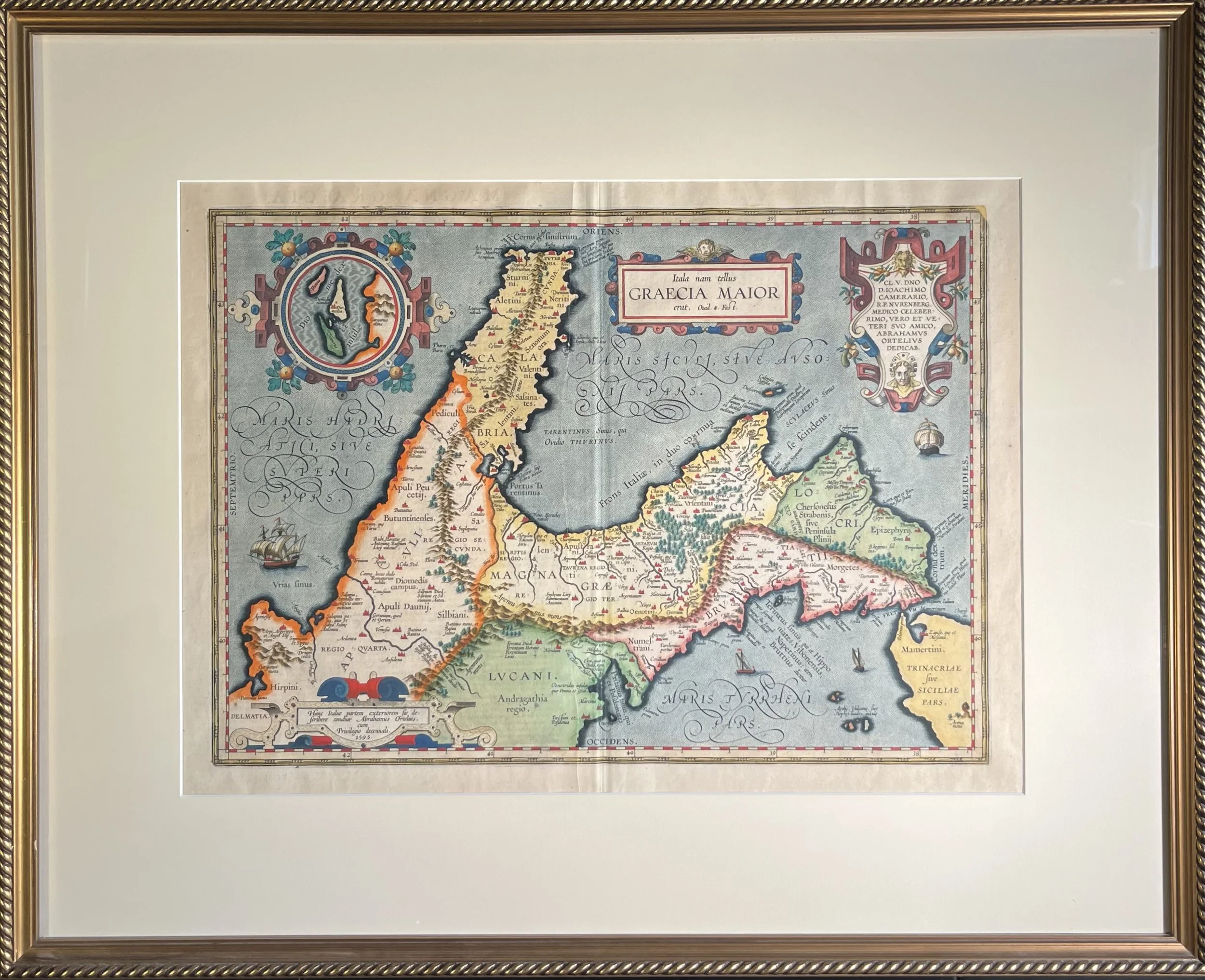
Ortelius. Southern Italy. 1641.
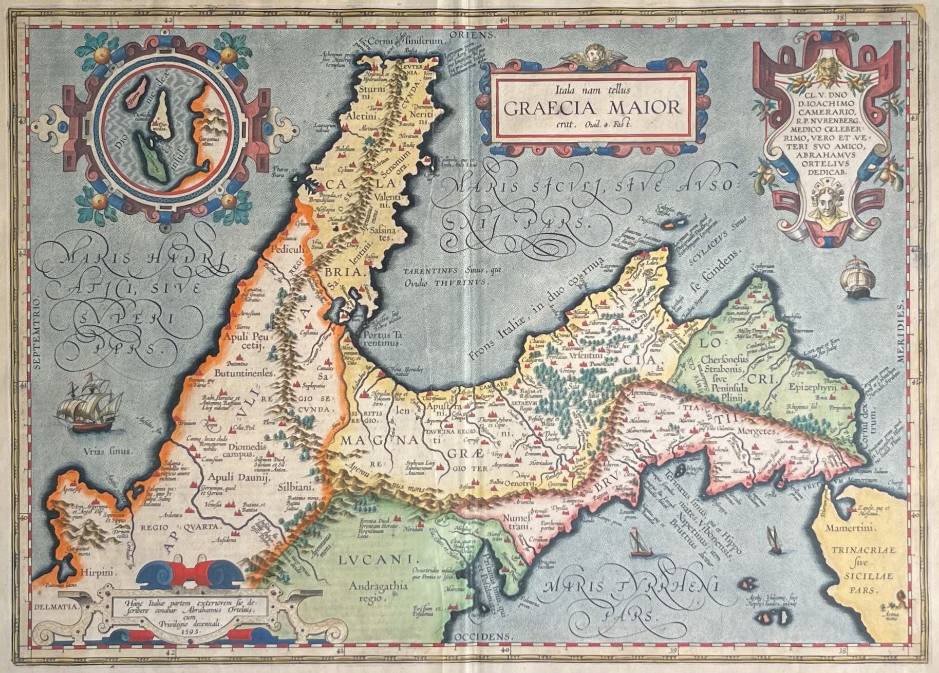
SOUTHERN ITALY, Abraham Ortelius.
“Italia nam tellus Graecia Maior erat...” From The Parergon. Antwerp: 1641. 13 1/2 x 19 inches (image). Engraving. Full original hand color. Full margins. Excellent condition. Latin text on verso.
A detailed and highly decorative map of southern Italy as part of Magna Graecia, from Parergon, the first historical atlas. Richly embellished with ornate cartouches and sailing ships, it is among the most visually elaborate maps in the series.
Oriented with east at the top, the map depicts the ancient regions of southern Italy, extending from Apulia in the north to Locri at the tip of the Italian peninsula. Part of Sicily also appears at lower right, with Mount Etna shown erupting dramatically at the edge of the map.
Mountain ranges, forests, and finely rendered cities give the landscape texture and depth. The Apennine Mountains dominate the center of the composition, while the Adriatic and Tyrrhenian Seas are filled with delicate stippling and animated by ships of varying sizes.
Four elaborate strapwork cartouches decorate the map. The lower-left cartouche names the cartographer, Abraham Ortelius, and dates the original engraving to 1595. The title cartouche identifies the region as Magna Graecia, the network of ancient Greek colonies established in southern Italy. Archimedes, one of antiquity’s greatest scientific minds, was born in Syracuse, Sicily, within this Hellenic world.
The upper-right cartouche dedicates the map to Ortelius’ friend, the German humanist and physician Joachim Camerarius the Elder. The upper-left cartouche contains an inset map of the Tremiti Islands, located just beyond the main map’s northern boundary near Mount Gargano.
The map draws heavily on classical geography and mythology, incorporating references from Pliny the Elder, Strabo, and Ptolemy, as well as scenes from Odyssey. Featured locations include Ogygia, where the nymph Calypso detained Odysseus for seven years; Scylla and Charybdis guarding the Strait of Sicily; and Ithaca, the hero’s homeland. Mythological sites associated with Athena and Hephaestus also appear.
Although best known for the Theatrum Orbis Terrarum, Ortelius regarded the Parergon as his greatest achievement. Driven by a fascination with classical antiquity, he personally drew each map in the series, combining historical scholarship with exceptional cartographic skill. First issued as a supplement to the Theatrum in 1579, the Parergon eventually expanded to 55 known plates and was later published independently in 1595 and 1624.
Blending geography, history, and myth, this map exemplifies Ortelius’ artistry and intellectual ambition. It would be an exceptional addition to collections focused on Mediterranean cartography, Ortelius, or the classical world.